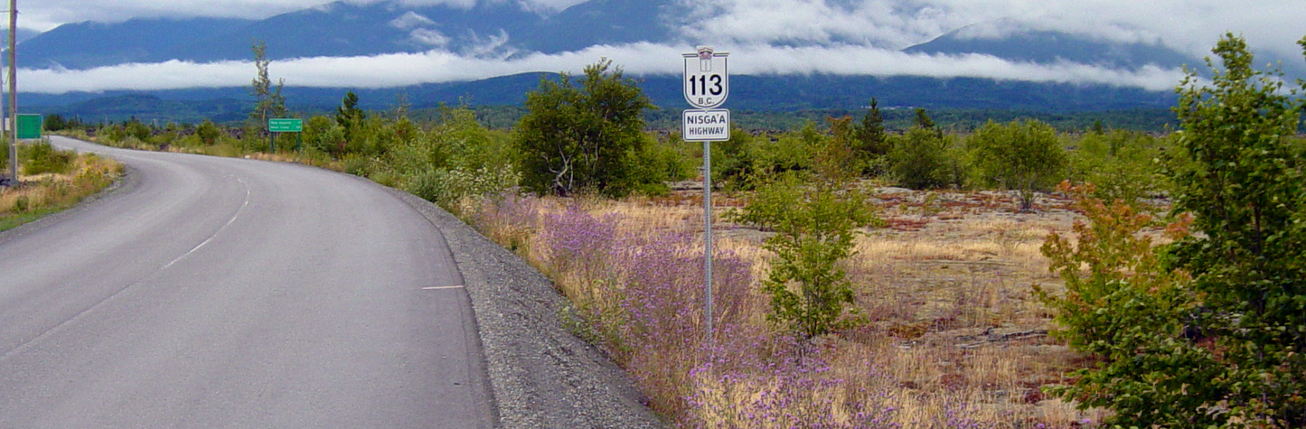
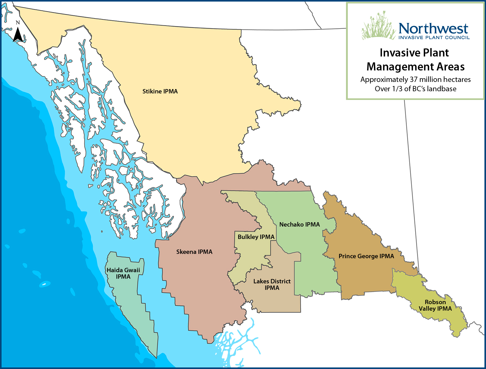
The NWIPC operating area encompasses northwest BC from the Rocky Mountains of Valemount, west to the Pacific Ocean including Haida Gwaii, and north of Quesnel to the Yukon border. The area comprises a total land base of 37,642,600 hectares. In addition to the Crown Lands of the Ministry of Forests, Lands, Natural Resource & Rural Development and the Ministry of Transport & Infrastructure, it includes Nisga'a Nation and First Nations traditional territory, four regional districts; one unincorporated region; sixteen incorporated municipalities; and over 100 Parks/Protected areas; and includes areas managed by forest licensees, and agriculture operations.
The NWIPC has divided the area into eight invasive plant management areas (IPMAs) in order to undertake invasive plant management over geographically defined areas. The IPMAs are:
Bulkley
Haida Gwaii
Lakes District
Nechako
Prince George
Robson Valley
Skeena
Stikine
The NWIPC is looking for an outgoing individual who enjoys meeting with the public. You will have or being willing to acquire basic...
Excutive Director Search
The NWIPC is searching for an Executive Director to take over from the current Executive Director. This is a...